Severe Weather Outlook
Hayley here - Do you like lofi music and terrifyingly loud computer voices? Then stop by the 24/7 ish severe weather live stream!
Outlook for Friday, July 5
Outlook Summary
Marginally severe storms are most likely across parts of the upper Ohio Valley on Friday.
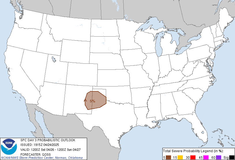
Outlook Images
Detailed Outlook
SPC AC 030742
Day 3 Convective Outlook NWS Storm Prediction Center Norman OK 0242 AM CDT Wed Jul 03 2024
Valid 051200Z - 061200Z
THERE IS A MARGINAL RISK OF SEVERE THUNDERSTORMS IN THE UPPER OHIO VALLEY
### SUMMARY
Marginally severe storms are most likely across parts of the upper Ohio Valley on Friday.
Synopsis
A strong upper-level trough will continue to track eastward through the Great Lakes region. Enhanced mid-level winds will extend westward into the central Plains/Rockies. The mid-level jet will approach the upper Ohio Valley by late afternoon. At the surface, a cold front will sweep across the Midwest into the Ohio Valley, with the extent of the front trailing southwestward into the southern Plains. A warm front will roughly be positioned from the Great Lakes surface low into the Mid-Atlantic.
Upper Ohio Valley Vicinity
Despite some concerns over cloud cover and the exact degree of destabilization and low-level lapse rates, some strong to severe storms appear possible ahead of the approaching cold front Friday afternoon into early evening. Given the very moist airmass (dewpoints in the low 70s F), it will not take a significant amount of heating to destabilize. The primary concern will be damaging wind gusts. Temperatures aloft will generally be too warm for severe hail, and storm mode will be multicellular with only occasional supercell structures.
Mid-Atlantic
Stronger heating of a similarly moist airmass will occur. Shear will be slightly weaker than in the Ohio Valley and forcing will be more nebulous given neutral mid-level heights through the day. Storm development within the Blue Ridge is possible. If more confidence in a cluster developing and moving off the terrain becomes evident, marginal severe probabilities could be needed.
..Wendt.. 07/03/2024
CLICK TO GET WUUS03 PTSDY3 PRODUCT
NOTE: THE NEXT DAY 3 OUTLOOK IS SCHEDULED BY 0730Z
National Risk Overview
- Wednesday, July 3
- TORNADO: 5%
- HAIL: 15%
- WIND: 15%
- Thursday, July 4
- TORNADO: 2%
- HAIL: 5%
- WIND: 15%
- Friday, July 5
- ANY SEVERE: 5%
- Saturday, July 6
- ANY SEVERE: low / uncertain
- Sunday, July 7
- ANY SEVERE: low / uncertain
- Monday, July 8
- ANY SEVERE: low / uncertain
- Tuesday, July 9
- ANY SEVERE: low / uncertain
- Wednesday, July 10
- ANY SEVERE: low / uncertain
Your Severe Outlook
Hey, it looks like your location wasn't detected.
Drag the marker on the map and we'll show you the severe weather potential for a given location.
Hi, I'm Hayley. Did you know that I run this site out of my own pocket? So if you'd like to help out and you're already planning on buying something off of Amazon, why not use our Amazon Severe Weather Outlook link before you buy and we'll get a tiny portion of your purchase.
About Severe Weather Outlook . com
SWO started as a spinoff project of wickedwx, but has since replaced the site.
- tornado hq - live severe weather warnings
- cyclocane - hurricanes/typhoons/cyclones
- tornado solitaire - play cards while you monitor the US severe weather threat
- tertremo - live view of earthquakes around the world
- earthquake solitaire - get live earthquake updates as you play your favorite card game


