Severe Weather Outlook
Hayley here - Do you like lofi music and terrifyingly loud computer voices? Then stop by the 24/7 ish severe weather live stream!
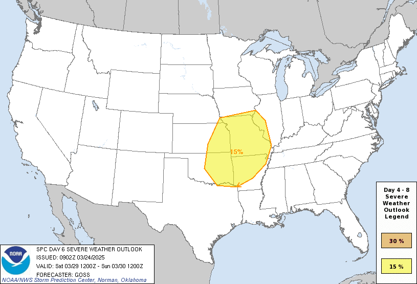
Outlook for Monday, July 8
Outlook Images
Note on Medium Range Outlooks
You are looking at an outlook that is part of the medium range forecast (the outlook for days 4-8). The most important thing to note is that lack of a risk does not mean zero risk. Generally speaking, confidence has to be pretty high for the Storm Prediction Center to have an outlook area this far into the future.
If you bookmark this page, it will continue to update with each new outlook that is issued.
Detailed Outlook
ZCZC SPCSWOD48 ALL ACUS48 KWNS 030839 SPC AC 030839
Day 4-8 Convective Outlook NWS Storm Prediction Center Norman OK 0339 AM CDT Wed Jul 03 2024
Valid 061200Z - 111200Z
DISCUSSION
Mid-Atlantic
For Saturday, severe thunderstorms are possible for parts of the Mid-Atlantic as the upper-level trough moves northeastward through the northern portion of the region. A cold front/surface trough pendant to the surface low in southeastern Canada will be the focus for convection by the afternoon. Models differ in the strength/position of the surface low as well as the degree of destabilization due to cloud cover.
Central/southern High Plains
With the broad trough to the north, the surface boundary is expected to generally stall within the southern Plains and arc northwest into the central/southern High Plains vicinity. Northwest flow aloft, on Saturday and becoming stronger on Sunday, will promote some potential for severe thunderstorm development. Both the GFS and ECMWF hint at possible MCS development both days, but differ fairly substantially on the details. Sunday would appear to have greater potential given that the upper trough will dig into the southern High Plains.
South Texas
As TC Beryl continues north-northwestward, an increase in severe weather potential may accompany its circulation as it eventually impacts parts of South Texas. Per latest NHC forecasts, this could occur as soon as this Sunday. However, uncertainty on the exact positioning and strength of this activity is too high at this time for highlights.
..Wendt.. 07/03/2024
CLICK TO GET WUUS48 PTSD48 PRODUCT
National Risk Overview
- Wednesday, July 3
- TORNADO: 5%
- HAIL: 15%
- WIND: 15%
- Thursday, July 4
- TORNADO: 2%
- HAIL: 5%
- WIND: 15%
- Friday, July 5
- ANY SEVERE: 5%
- Saturday, July 6
- ANY SEVERE: low / uncertain
- Sunday, July 7
- ANY SEVERE: low / uncertain
- Monday, July 8
- ANY SEVERE: low / uncertain
- Tuesday, July 9
- ANY SEVERE: low / uncertain
- Wednesday, July 10
- ANY SEVERE: low / uncertain
Your Severe Outlook
Hey, it looks like your location wasn't detected.
Drag the marker on the map and we'll show you the severe weather potential for a given location.
Hi, I'm Hayley. Did you know that I run this site out of my own pocket? So if you'd like to help out and you're already planning on buying something off of Amazon, why not use our Amazon Severe Weather Outlook link before you buy and we'll get a tiny portion of your purchase.
About Severe Weather Outlook . com
SWO started as a spinoff project of wickedwx, but has since replaced the site.
- tornado hq - live severe weather warnings
- cyclocane - hurricanes/typhoons/cyclones
- tornado solitaire - play cards while you monitor the US severe weather threat
- tertremo - live view of earthquakes around the world
- earthquake solitaire - get live earthquake updates as you play your favorite card game


