Severe Weather Outlook
Hayley here - Do you like lofi music and terrifyingly loud computer voices? Then stop by the 24/7 ish severe weather live stream!
Outlook for Thursday, October 17
Outlook Summary
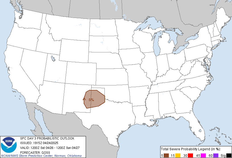
Organized severe thunderstorms are not currently expected on Thursday.
Outlook Images
Detailed Outlook
SPC AC 151919
Day 3 Convective Outlook NWS Storm Prediction Center Norman OK 0219 PM CDT Tue Oct 15 2024
Valid 171200Z - 181200Z
NO SEVERE THUNDERSTORM AREAS FORECAST
### SUMMARY
Organized severe thunderstorms are not currently expected on Thursday.
Synopsis
An upper-level trough is forecast to amplify across the West on Thursday. Multiple embedded shortwaves will move through the large-scale trough, with the most significant of these shortwaves forecast to dig southeastward from the Pacific Northwest toward the Great Basin and develop into a mid/upper-level cyclone by the end of the period. Farther east, a mid/upper-level cyclone initially near the NC/VA coast is forecast to move eastward, with an upper-level ridge building in its wake from the Great Lakes into the Southeast.
Rich low-level moisture will remain suppressed from the central/southern Gulf of Mexico into the FL Keys, in the wake of an earlier frontal passage. This will generally limit organized severe potential across most of the CONUS. A broad region from west TX into the Rockies, Great Basin, Northwest, and possibly parts of the High Plains will see potential for generally weak convection with isolated/sporadic lightning flashes. The greatest relative storm coverage may occur during the afternoon from west TX into the southern/central Rockies, and later Thursday night across the southern Great Basin into northern Arizona, in association with the developing mid/upper-level cyclone.
Southern Great Basin into Northern Arizona
Modest low-level moisture may stream northward from the lower CO River Valley into northern AZ and the southern Great Basin by Thursday evening, in advance of the developing mid/upper-level cyclone and associated surface low and cold front. This gradual moistening combined with cooling midlevel temperatures may support some instability increase, accompanied by the potential for at least isolated storm development through the evening into Thursday night. Rather strong deep-layer shear will be conditionally favorable for storm organization, but it remains uncertain if instability will become sufficient to support any organized severe threat.
..Dean.. 10/15/2024
CLICK TO GET WUUS03 PTSDY3 PRODUCT
NOTE: THE NEXT DAY 3 OUTLOOK IS SCHEDULED BY 0730Z
National Risk Overview
- Tuesday, October 15
- TORNADO: low
- HAIL: low
- WIND: low
- Wednesday, October 16
- TORNADO: low
- HAIL: low
- WIND: low
- Thursday, October 17
- ANY SEVERE: low
- Friday, October 18
- ANY SEVERE: low / uncertain
- Saturday, October 19
- ANY SEVERE: low / uncertain
- Sunday, October 20
- ANY SEVERE: low / uncertain
- Monday, October 21
- ANY SEVERE: low / uncertain
- Tuesday, October 22
- ANY SEVERE: low / uncertain
Your Severe Outlook
Hey, it looks like your location wasn't detected.
Drag the marker on the map and we'll show you the severe weather potential for a given location.
Hi, I'm Hayley. Did you know that I run this site out of my own pocket? So if you'd like to help out and you're already planning on buying something off of Amazon, why not use our Amazon Severe Weather Outlook link before you buy and we'll get a tiny portion of your purchase.
About Severe Weather Outlook . com
SWO started as a spinoff project of wickedwx, but has since replaced the site.
- tornado hq - live severe weather warnings
- cyclocane - hurricanes/typhoons/cyclones
- tornado solitaire - play cards while you monitor the US severe weather threat
- tertremo - live view of earthquakes around the world
- earthquake solitaire - get live earthquake updates as you play your favorite card game


