Severe Weather Outlook
Hayley here - Do you like lofi music and terrifyingly loud computer voices? Then stop by the 24/7 ish severe weather live stream!
Outlook for Sunday, November 10
Outlook Images
Note on Medium Range Outlooks
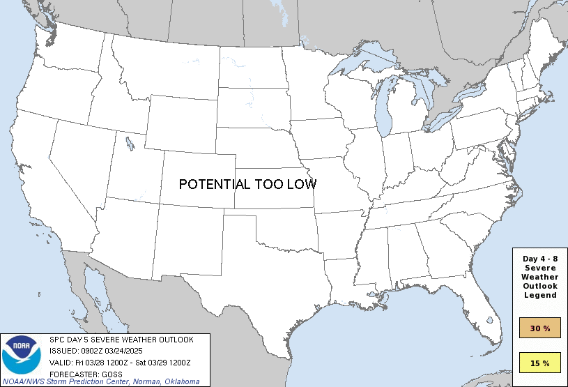
You are looking at an outlook that is part of the medium range forecast (the outlook for days 4-8). The most important thing to note is that lack of a risk does not mean zero risk. Generally speaking, confidence has to be pretty high for the Storm Prediction Center to have an outlook area this far into the future.
If you bookmark this page, it will continue to update with each new outlook that is issued.
Detailed Outlook
ZCZC SPCSWOD48 ALL ACUS48 KWNS 060937 SPC AC 060937
Day 4-8 Convective Outlook NWS Storm Prediction Center Norman OK 0337 AM CST Wed Nov 06 2024
Valid 091200Z - 141200Z
DISCUSSION
Modest severe potential remains apparent during parts of the extended period.
A mid/upper low over the central High Plains at 12Z Saturday should pivot northeastward towards the Upper Midwest as it becomes an open wave. A belt of strong mid-level southwesterlies should overlap with the northwestern periphery of a modified low-level moisture plume emanating north from the western Gulf. This plume is expected to be narrower to the north-northwest of the Ark-La-Tex. Combined with probable ongoing convection in the warm conveyor ahead of the weak surface front, the overall severe threat on D4 should be confined/low-end.
While outlier guidance indicates the possibility of TC Rafael approaching the coastal LA vicinity this weekend, ensemble trends and latest NHC forecast suggest it will probably remain over the western Gulf.
Guidance consensus still indicates an amplified upper trough should progress into the West early next week, with this feature reaching the central states mid-week. This may eventually overlap a broadening warm/moist sector emanating north from the western Gulf across the south-central states. But poor run-to-run continuity and large ensemble spread persist with the evolution of this trough.
..Grams.. 11/06/2024
CLICK TO GET WUUS48 PTSD48 PRODUCT
National Risk Overview
- Wednesday, November 6
- TORNADO: 5%
- HAIL: low
- WIND: low
- Thursday, November 7
- TORNADO: 2%
- HAIL: 15%
- WIND: 5%
- Friday, November 8
- ANY SEVERE: 5%
- Saturday, November 9
- ANY SEVERE: low / uncertain
- Sunday, November 10
- ANY SEVERE: low / uncertain
- Monday, November 11
- ANY SEVERE: low / uncertain
- Tuesday, November 12
- ANY SEVERE: low / uncertain
- Wednesday, November 13
- ANY SEVERE: low / uncertain
Your Severe Outlook
Hey, it looks like your location wasn't detected.
Drag the marker on the map and we'll show you the severe weather potential for a given location.
Hi, I'm Hayley. Did you know that I run this site out of my own pocket? So if you'd like to help out and you're already planning on buying something off of Amazon, why not use our Amazon Severe Weather Outlook link before you buy and we'll get a tiny portion of your purchase.
About Severe Weather Outlook . com
SWO started as a spinoff project of wickedwx, but has since replaced the site.
- tornado hq - live severe weather warnings
- cyclocane - hurricanes/typhoons/cyclones
- tornado solitaire - play cards while you monitor the US severe weather threat
- tertremo - live view of earthquakes around the world
- earthquake solitaire - get live earthquake updates as you play your favorite card game


