Severe Weather Outlook
Hayley here - Do you like lofi music and terrifyingly loud computer voices? Then stop by the 24/7 ish severe weather live stream!
Outlook for Friday, November 22
Outlook Summary
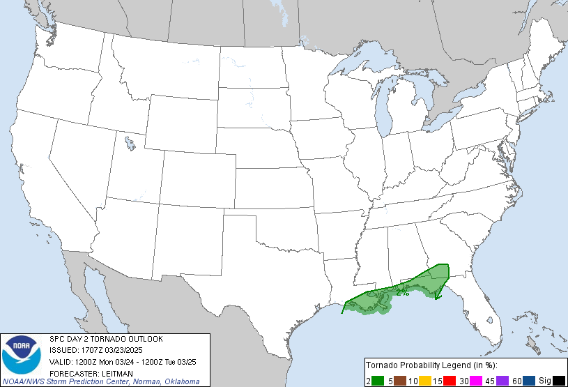
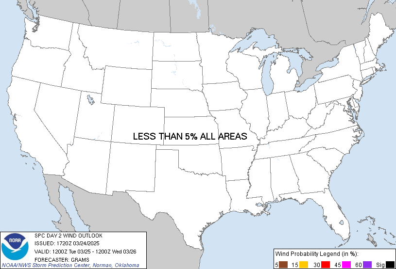
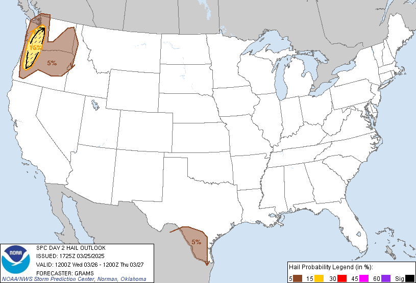
A few thunderstorms are possible along the Pacific Northwest Coast on Friday.
Outlook Images
Detailed Outlook
SPC AC 210612
Day 2 Convective Outlook NWS Storm Prediction Center Norman OK 1212 AM CST Thu Nov 21 2024
Valid 221200Z - 231200Z
NO SEVERE THUNDERSTORM AREAS FORECAST
### SUMMARY
A few thunderstorms are possible along the Pacific Northwest Coast on Friday.
Synopsis
A large, deep upper low will exist over the northeast Friday morning, and will gradually weaken as it drifts east through the period. Meanwhile, an upper ridge will slowly shift east from the Rockies into the Plains, while yet another trough pushes across the Pacific Northwest region late.
Substantial northwest surface winds will maintain relatively stable conditions from the Plains to the East Coast, with no instability forecast over much of the CONUS.
The exception will be again along the coastal counties of WA and OR, as strong cooling aloft occurs. Scattered low-topped convection will be most likely over the ocean overnight. A few thunderstorms may move onshore, but at this time the stronger shear farther north does not appear to overlap with the minimal instability required for a severe threat.
..Jewell.. 11/21/2024
CLICK TO GET WUUS02 PTSDY2 PRODUCT
NOTE: THE NEXT DAY 2 OUTLOOK IS SCHEDULED BY 1730Z
National Risk Overview
- Thursday, November 21
- TORNADO: low
- HAIL: low
- WIND: low
- Friday, November 22
- TORNADO: low
- HAIL: low
- WIND: low
- Saturday, November 23
- ANY SEVERE: low / uncertain
- Sunday, November 24
- ANY SEVERE: low / uncertain
- Monday, November 25
- ANY SEVERE: low / uncertain
- Tuesday, November 26
- ANY SEVERE: low / uncertain
- Wednesday, November 27
- ANY SEVERE: low / uncertain
Your Severe Outlook
Hey, it looks like your location wasn't detected.
Drag the marker on the map and we'll show you the severe weather potential for a given location.
Hi, I'm Hayley. Did you know that I run this site out of my own pocket? So if you'd like to help out and you're already planning on buying something off of Amazon, why not use our Amazon Severe Weather Outlook link before you buy and we'll get a tiny portion of your purchase.
About Severe Weather Outlook . com
SWO started as a spinoff project of wickedwx, but has since replaced the site.
- tornado hq - live severe weather warnings
- cyclocane - hurricanes/typhoons/cyclones
- tornado solitaire - play cards while you monitor the US severe weather threat
- tertremo - live view of earthquakes around the world
- earthquake solitaire - get live earthquake updates as you play your favorite card game


