Severe Weather Outlook
Hayley here - Do you like lofi music and terrifyingly loud computer voices? Then stop by the 24/7 ish severe weather live stream!
Outlook for Thursday, December 12
Outlook Summary
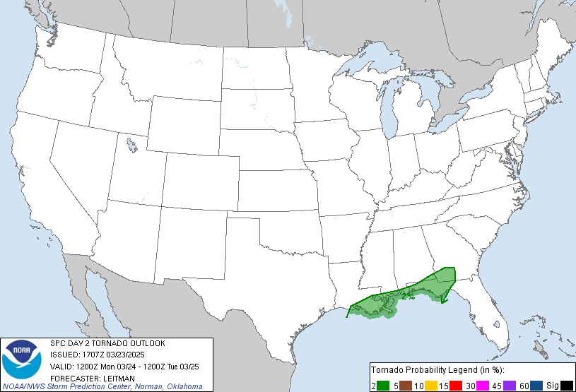
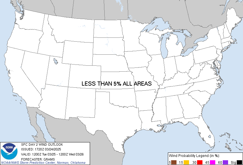
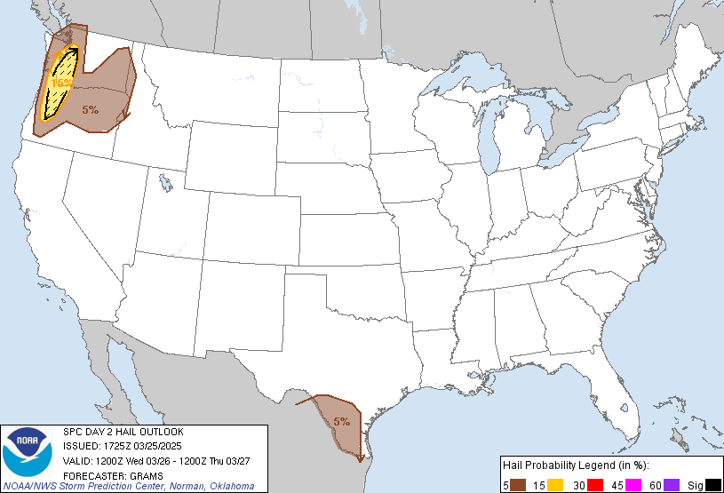
Thunderstorm probabilities are negligible on Thursday.
Outlook Images
Detailed Outlook
SPC AC 111706
Day 2 Convective Outlook NWS Storm Prediction Center Norman OK 1106 AM CST Wed Dec 11 2024
Valid 121200Z - 131200Z
NO THUNDERSTORM AREAS FORECAST
### SUMMARY
Thunderstorm probabilities are negligible on Thursday.
Discussion
A quiescent pattern for thunderstorm activity will envelop much of the CONUS tomorrow. Two areas of sub-10 percent thunderstorm probabilities remain apparent.
An Arctic air mass will settle into the Upper Great Lakes. Downstream, lake-effect snow bands will persist with the most organized one expected in the lee of eastern Lake Ontario. A few lightning flashes are possible during the period of maximum snow rate intensity, seemingly from late afternoon into Thursday night.
A couple elevated thunderstorms could develop over a portion of the Desert Southwest from southeast CA to the Lower CO Valley ahead of an approaching shortwave trough. Despite strong forcing for ascent, buoyancy appears minimal with MUCAPE likely holding sub-100 J/kg.
..Grams.. 12/11/2024
CLICK TO GET WUUS02 PTSDY2 PRODUCT
NOTE: THE NEXT DAY 2 OUTLOOK IS SCHEDULED BY 0700Z
National Risk Overview
- Wednesday, December 11
- TORNADO: low
- HAIL: low
- WIND: low
- Thursday, December 12
- TORNADO: low
- HAIL: low
- WIND: low
- Friday, December 13
- ANY SEVERE: low
- Saturday, December 14
- ANY SEVERE: low / uncertain
- Sunday, December 15
- ANY SEVERE: low / uncertain
- Monday, December 16
- ANY SEVERE: low / uncertain
- Tuesday, December 17
- ANY SEVERE: low / uncertain
- Wednesday, December 18
- ANY SEVERE: low / uncertain
Your Severe Outlook
Hey, it looks like your location wasn't detected.
Drag the marker on the map and we'll show you the severe weather potential for a given location.
Hi, I'm Hayley. Did you know that I run this site out of my own pocket? So if you'd like to help out and you're already planning on buying something off of Amazon, why not use our Amazon Severe Weather Outlook link before you buy and we'll get a tiny portion of your purchase.
About Severe Weather Outlook . com
SWO started as a spinoff project of wickedwx, but has since replaced the site.
- tornado hq - live severe weather warnings
- cyclocane - hurricanes/typhoons/cyclones
- tornado solitaire - play cards while you monitor the US severe weather threat
- tertremo - live view of earthquakes around the world
- earthquake solitaire - get live earthquake updates as you play your favorite card game


