Severe Weather Outlook
Hayley here - Do you like lofi music and terrifyingly loud computer voices? Then stop by the 24/7 ish severe weather live stream!
Outlook for Wednesday, December 25
Outlook Images
Note on Medium Range Outlooks
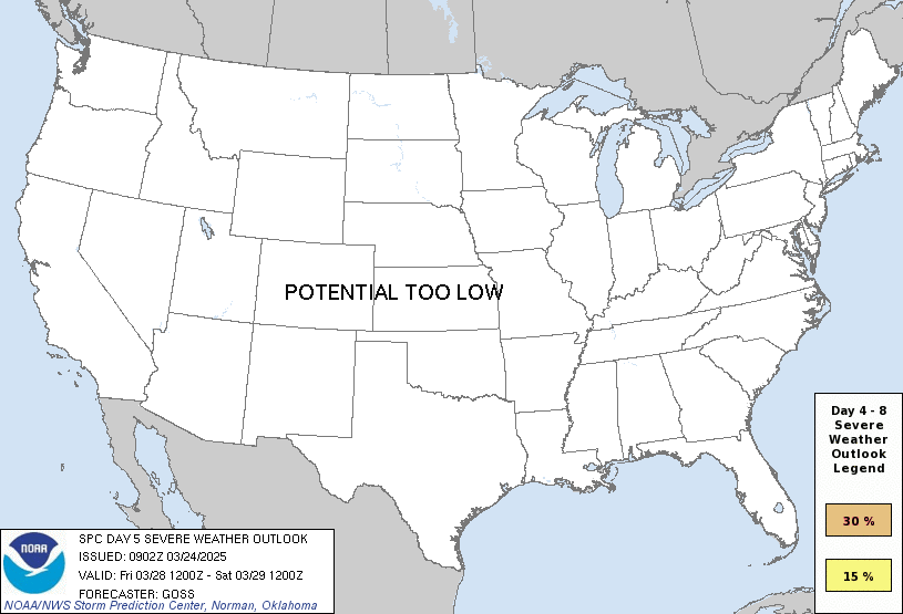
You are looking at an outlook that is part of the medium range forecast (the outlook for days 4-8). The most important thing to note is that lack of a risk does not mean zero risk. Generally speaking, confidence has to be pretty high for the Storm Prediction Center to have an outlook area this far into the future.
If you bookmark this page, it will continue to update with each new outlook that is issued.
Detailed Outlook
ZCZC SPCSWOD48 ALL ACUS48 KWNS 210922 SPC AC 210922
Day 4-8 Convective Outlook NWS Storm Prediction Center Norman OK 0322 AM CST Sat Dec 21 2024
Valid 241200Z - 291200Z
DISCUSSION
A more active southern-stream pattern is expected next week with several lower latitude troughs crossing the southern tier, along with some northward increase in low-level moisture across parts of Texas to the Lower Mississippi Valley and Gulf Coast. On Tuesday/Day 4, one such shortwave trough should influence increasing thunderstorm potential across south-central to east/southeast Texas. Some severe risk could materialize Tuesday, but it appears that overall buoyancy will be weak with the severe potential currently expected to be relatively marginal and isolated in nature.
An additional focus for increasing deep convective potential will be into the Thursday/Day 6, Friday/Day 7, and Saturday/Day 8 time frame. This will be as a secondary upper trough emerges from the Southwest deserts and moves toward the Deep South. This could lead to a severe risk in a corridor from east/southeast Texas and the ArkLaTex to Lower Mississippi Valley. While some severe storms will be possible, perhaps especially Thursday/Day 6, there is lingering risk magnitude uncertainty related to moisture/destabilization given the potential influences of the preceding shortwave trough and cold front. Forecast uncertainties at this time frame precludes any 15% outlook areas.
..Guyer.. 12/21/2024
CLICK TO GET WUUS48 PTSD48 PRODUCT
National Risk Overview
- Saturday, December 21
- TORNADO: low
- HAIL: low
- WIND: low
- Sunday, December 22
- TORNADO: low
- HAIL: low
- WIND: low
- Monday, December 23
- ANY SEVERE: low
- Tuesday, December 24
- ANY SEVERE: low / uncertain
- Wednesday, December 25
- ANY SEVERE: low / uncertain
- Thursday, December 26
- ANY SEVERE: low / uncertain
- Friday, December 27
- ANY SEVERE: low / uncertain
- Saturday, December 28
- ANY SEVERE: low / uncertain
Your Severe Outlook
Hey, it looks like your location wasn't detected.
Drag the marker on the map and we'll show you the severe weather potential for a given location.
Hi, I'm Hayley. Did you know that I run this site out of my own pocket? So if you'd like to help out and you're already planning on buying something off of Amazon, why not use our Amazon Severe Weather Outlook link before you buy and we'll get a tiny portion of your purchase.
About Severe Weather Outlook . com
SWO started as a spinoff project of wickedwx, but has since replaced the site.
- tornado hq - live severe weather warnings
- cyclocane - hurricanes/typhoons/cyclones
- tornado solitaire - play cards while you monitor the US severe weather threat
- tertremo - live view of earthquakes around the world
- earthquake solitaire - get live earthquake updates as you play your favorite card game

