Severe Weather Outlook
Hayley here - Do you like lofi music and terrifyingly loud computer voices? Then stop by the 24/7 ish severe weather live stream!
Outlook for Sunday, January 5
Outlook Images
Note on Medium Range Outlooks
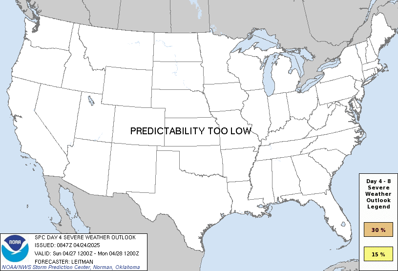
You are looking at an outlook that is part of the medium range forecast (the outlook for days 4-8). The most important thing to note is that lack of a risk does not mean zero risk. Generally speaking, confidence has to be pretty high for the Storm Prediction Center to have an outlook area this far into the future.
If you bookmark this page, it will continue to update with each new outlook that is issued.
Detailed Outlook
ZCZC SPCSWOD48 ALL ACUS48 KWNS 020916 SPC AC 020916
Day 4-8 Convective Outlook NWS Storm Prediction Center Norman OK 0316 AM CST Thu Jan 02 2025
Valid 051200Z - 101200Z
DISCUSSION
Medium-range guidance is in relatively good agreement that a shortwave trough will extend from western/central KS into the TX Hill Country early D4/Sunday morning. This shortwave is then forecast to progress northeastward throughout the day, likely reaching the Mid MS Valley by D5/Monday morning. An associated surface low will move just ahead of the parent shortwave, with an attendant cold front sweeping eastward across east TX and Lower MS Valley. A warm sector characterized by low to mid 60s dewpoints will precede this front, which should be sufficient for modest buoyancy despite a relatively warm profile and poor lapse rates. Thunderstorm development is anticipated along the front, with some potential for isolated discrete storms ahead of the front as well. Moderate to strong mid-level flow will extend across the warm sector, resulting in deep-layer vertical shear strong enough to support organized storms (i.e. 0-6 km bulk shear from 40 to 50 kt). General expectation is for the development of a fast-moving convective line capable of strong to severe gusts along the cold front, supported by modest buoyancy and deep-layer shear orthogonal to the front. Strengthening low-level flow (i.e. 50 to 60 kt at 850 mb) could also support enough low-level shear for line-embedded circulations as well.
Some thunderstorms will remain possible across the Southeast on D5/Monday as the front continues eastward. However, limited low-level moisture ahead of the front should limit the severe thunderstorm threat.
From D6/Tuesday through D8/Thursday, cold and stable conditions are expected to preclude thunderstorm development across the CONUS.
..Mosier.. 01/02/2025
CLICK TO GET WUUS48 PTSD48 PRODUCT
National Risk Overview
- Thursday, January 2
- TORNADO: low
- HAIL: low
- WIND: low
- Friday, January 3
- TORNADO: low
- HAIL: low
- WIND: low
- Saturday, January 4
- ANY SEVERE: low
- Sunday, January 5
- ANY SEVERE: 15%
- Monday, January 6
- ANY SEVERE: low / uncertain
- Tuesday, January 7
- ANY SEVERE: low / uncertain
- Wednesday, January 8
- ANY SEVERE: low / uncertain
- Thursday, January 9
- ANY SEVERE: low / uncertain
Your Severe Outlook
Hey, it looks like your location wasn't detected.
Drag the marker on the map and we'll show you the severe weather potential for a given location.
Hi, I'm Hayley. Did you know that I run this site out of my own pocket? So if you'd like to help out and you're already planning on buying something off of Amazon, why not use our Amazon Severe Weather Outlook link before you buy and we'll get a tiny portion of your purchase.
About Severe Weather Outlook . com
SWO started as a spinoff project of wickedwx, but has since replaced the site.
- tornado hq - live severe weather warnings
- cyclocane - hurricanes/typhoons/cyclones
- tornado solitaire - play cards while you monitor the US severe weather threat
- tertremo - live view of earthquakes around the world
- earthquake solitaire - get live earthquake updates as you play your favorite card game

