Severe Weather Outlook
Hayley here - Do you like lofi music and terrifyingly loud computer voices? Then stop by the 24/7 ish severe weather live stream!
Outlook for Saturday, February 1
Outlook Summary
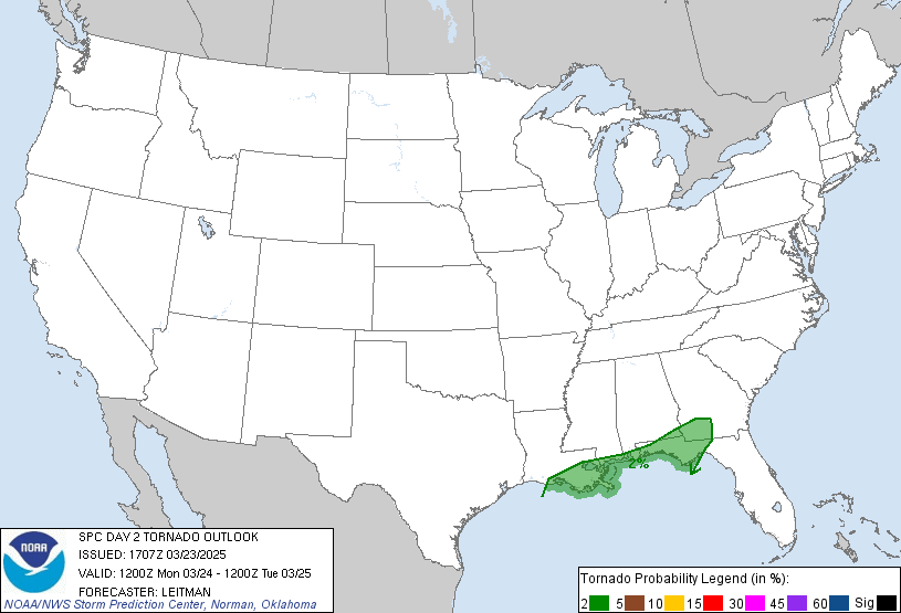
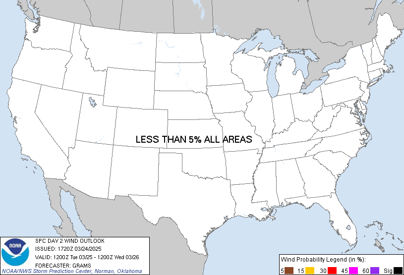
Thunderstorm potential across the United States appears low on Saturday.
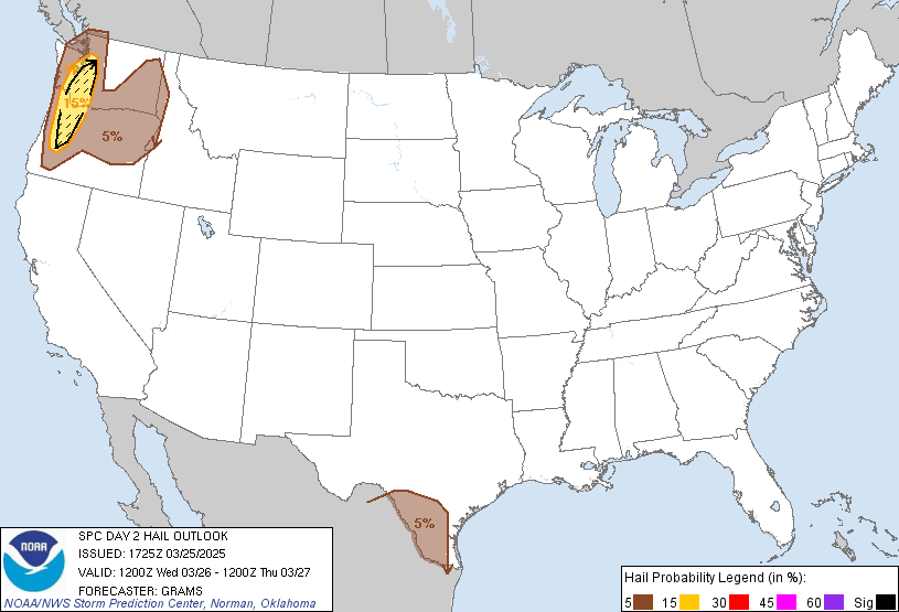
Outlook Images
Detailed Outlook
SPC AC 311658
Day 2 Convective Outlook NWS Storm Prediction Center Norman OK 1058 AM CST Fri Jan 31 2025
Valid 011200Z - 021200Z
NO THUNDERSTORM AREAS FORECAST
### SUMMARY
Thunderstorm potential across the United States appears low on Saturday.
Synopsis
Low-amplitude, quasi-zonal upper level flow will emerge across the CONUS as a shortwave trough moves offshore the Atlantic coast early Saturday. At the surface, low pressure centered over southern portions of the Canadian Prairies will shift east, while a trailing cold front moves across the northern Rockies/High Plains region. A weak frontal zone across the FL Peninsula will dissipate, while strong surface high pressure persists across the eastern U.S. northern low-level flow across the western Atlantic and Gulf will result in a dry and stable airmass across much of the U.S. east of the Rockies.
Precipitation is more likely across portions of the Pacific Northwest as moist onshore deep-layer flow streams over the region. Cold midlevels will result in steep lapse rates and meager elevated instability. A lightning flash or two is possible along the WA coast with low-topped convection, but thunderstorm coverage is expected to remain less than 10 percent and more likely offshore.
..Leitman.. 01/31/2025
CLICK TO GET WUUS02 PTSDY2 PRODUCT
NOTE: THE NEXT DAY 2 OUTLOOK IS SCHEDULED BY 0700Z
National Risk Overview
- Friday, January 31
- TORNADO: low
- HAIL: low
- WIND: low
- Saturday, February 1
- TORNADO: low
- HAIL: low
- WIND: low
- Sunday, February 2
- ANY SEVERE: low
- Monday, February 3
- ANY SEVERE: low / uncertain
- Tuesday, February 4
- ANY SEVERE: low / uncertain
- Wednesday, February 5
- ANY SEVERE: low / uncertain
- Thursday, February 6
- ANY SEVERE: low / uncertain
- Friday, February 7
- ANY SEVERE: low / uncertain
Your Severe Outlook
Hey, it looks like your location wasn't detected.
Drag the marker on the map and we'll show you the severe weather potential for a given location.
Hi, I'm Hayley. Did you know that I run this site out of my own pocket? So if you'd like to help out and you're already planning on buying something off of Amazon, why not use our Amazon Severe Weather Outlook link before you buy and we'll get a tiny portion of your purchase.
About Severe Weather Outlook . com
SWO started as a spinoff project of wickedwx, but has since replaced the site.
- tornado hq - live severe weather warnings
- cyclocane - hurricanes/typhoons/cyclones
- tornado solitaire - play cards while you monitor the US severe weather threat
- tertremo - live view of earthquakes around the world
- earthquake solitaire - get live earthquake updates as you play your favorite card game


