Severe Weather Outlook
Hayley here - Do you like lofi music and terrifyingly loud computer voices? Then stop by the 24/7 ish severe weather live stream!
Outlook for Sunday, February 2
Outlook Summary
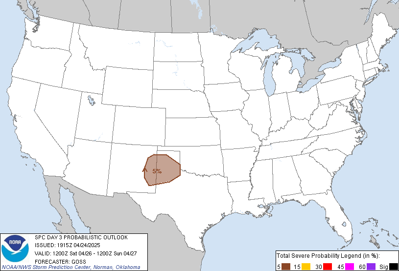
Thunderstorm activity is forecast to be minimal across the U.S. on Sunday.
Outlook Images
Detailed Outlook
SPC AC 311857
Day 3 Convective Outlook NWS Storm Prediction Center Norman OK 1257 PM CST Fri Jan 31 2025
Valid 021200Z - 031200Z
NO THUNDERSTORM AREAS FORECAST
### SUMMARY
Thunderstorm activity is forecast to be minimal across the U.S. on Sunday.
Synopsis
A low-amplitude westerly upper flow regime will persist across the CONUS on Sunday. Surface low pressure over the central Plains will result in some modest baroclinicity across the southern Plains. The resulting southerly low-level flow will transport modest Gulf moisture northward across TX, but deeper moisture will remain confined to the coast. Further north, a cold front will develop south across the northern Intermountain region and northern Plains. Cold Arctic air and strong surface high pressure will build south in the wake of the front. Given poor boundary-layer moisture and little upper-level support, thunderstorm potential appears low.
..Leitman.. 01/31/2025
CLICK TO GET WUUS03 PTSDY3 PRODUCT
NOTE: THE NEXT DAY 3 OUTLOOK IS SCHEDULED BY 0830Z
National Risk Overview
- Friday, January 31
- TORNADO: low
- HAIL: low
- WIND: low
- Saturday, February 1
- TORNADO: low
- HAIL: low
- WIND: low
- Sunday, February 2
- ANY SEVERE: low
- Monday, February 3
- ANY SEVERE: low / uncertain
- Tuesday, February 4
- ANY SEVERE: low / uncertain
- Wednesday, February 5
- ANY SEVERE: low / uncertain
- Thursday, February 6
- ANY SEVERE: low / uncertain
- Friday, February 7
- ANY SEVERE: low / uncertain
Your Severe Outlook
Hey, it looks like your location wasn't detected.
Drag the marker on the map and we'll show you the severe weather potential for a given location.
Hi, I'm Hayley. Did you know that I run this site out of my own pocket? So if you'd like to help out and you're already planning on buying something off of Amazon, why not use our Amazon Severe Weather Outlook link before you buy and we'll get a tiny portion of your purchase.
About Severe Weather Outlook . com
SWO started as a spinoff project of wickedwx, but has since replaced the site.
- tornado hq - live severe weather warnings
- cyclocane - hurricanes/typhoons/cyclones
- tornado solitaire - play cards while you monitor the US severe weather threat
- tertremo - live view of earthquakes around the world
- earthquake solitaire - get live earthquake updates as you play your favorite card game


