Severe Weather Outlook
Hayley here - Do you like lofi music and terrifyingly loud computer voices? Then stop by the 24/7 ish severe weather live stream!
Outlook for Wednesday, February 26
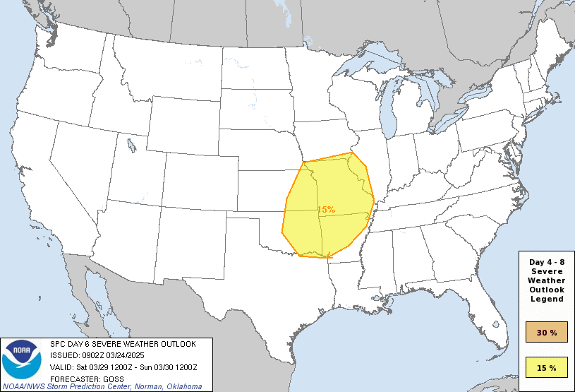
Outlook Images
Note on Medium Range Outlooks
You are looking at an outlook that is part of the medium range forecast (the outlook for days 4-8). The most important thing to note is that lack of a risk does not mean zero risk. Generally speaking, confidence has to be pretty high for the Storm Prediction Center to have an outlook area this far into the future.
When no specific risk areas are shown, you might see one of these phrases:
- Predictability Too Low: This means that severe storms might be possible, but forecasters aren't confident enough about where or when they might occur. Think of it as the models showing different possibilities, like pieces of a puzzle that haven't come together yet.
- Potential Too Low: This means forecasters are fairly confident that widespread severe weather is NOT expected on that day. While isolated storms might still occur, the chance of reaching severe criteria across any given area is very low.
If you bookmark this page, it will continue to update with each new outlook that is issued.
Days Covered in this Outlook
| Day 4 | Monday, February 24 | potential too low |
| Day 5 | Tuesday, February 25 | potential too low |
| Day 6 | Wednesday, February 26 | potential too low |
| Day 7 | Thursday, February 27 | potential too low |
| Day 8 | Friday, February 28 | potential too low |
Detailed Outlook
ZCZC SPCSWOD48 ALL ACUS48 KWNS 210921 SPC AC 210921
Day 4-8 Convective Outlook NWS Storm Prediction Center Norman OK 0321 AM CST Fri Feb 21 2025
Valid 241200Z - 011200Z
DISCUSSION
A dry airmass will be in place across the CONUS for all of next week. A cold front will move south across the Gulf on Monday. While some moisture recovery will occur on Tuesday and Wednesday, another front will move into the northern Gulf on Wednesday night and keep moisture offshore. Therefore, thunderstorm activity should be minimal and severe thunderstorms remain unlikely through the extended forecast period.
..Bentley.. 02/21/2025
CLICK TO GET WUUS48 PTSD48 PRODUCT
National Risk Overview
- Friday, February 21
- TORNADO: low
- HAIL: low
- WIND: low
- Saturday, February 22
- TORNADO: low
- HAIL: low
- WIND: low
- Sunday, February 23
- ANY SEVERE: low
- Monday, February 24
- ANY SEVERE: potential too low
- Tuesday, February 25
- ANY SEVERE: potential too low
- Wednesday, February 26
- ANY SEVERE: potential too low
- Thursday, February 27
- ANY SEVERE: potential too low
- Friday, February 28
- ANY SEVERE: potential too low
Your Severe Outlook
Hey, it looks like your location wasn't detected.
Drag the marker on the map and we'll show you the severe weather potential for a given location.
Hi, I'm Hayley. Did you know that I run this site out of my own pocket? So if you'd like to help out and you're already planning on buying something off of Amazon, why not use our Amazon Severe Weather Outlook link before you buy and we'll get a tiny portion of your purchase.
About Severe Weather Outlook . com
SWO started as a spinoff project of wickedwx, but has since replaced the site.
- tornado hq - live severe weather warnings
- cyclocane - hurricanes/typhoons/cyclones
- tornado solitaire - play cards while you monitor the US severe weather threat
- tertremo - live view of earthquakes around the world
- earthquake solitaire - get live earthquake updates as you play your favorite card game

