Severe Weather Outlook
Hayley here - Do you like lofi music and terrifyingly loud computer voices? Then stop by the 24/7 ish severe weather live stream!
Outlook for Monday, March 31
Outlook Summary
Strong/severe thunderstorms -- with threat for fairly widespread damaging winds and tornadoes -- are forecast Monday from portions of the Northeast southwestward to the central Gulf Coast region.
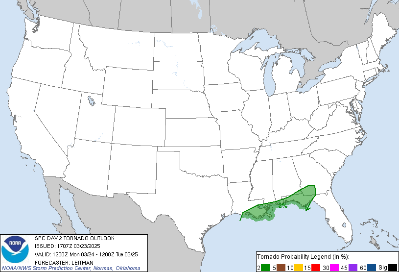
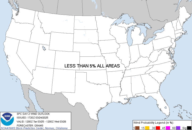
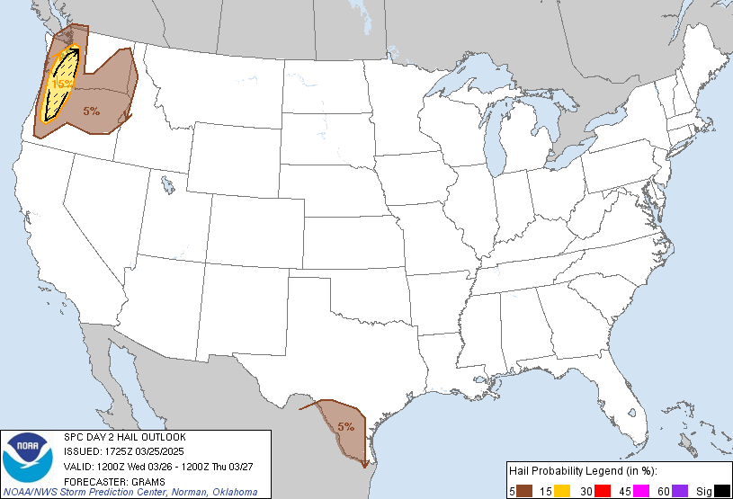
Outlook Images
Detailed Outlook
SPC AC 300607
Day 2 Convective Outlook NWS Storm Prediction Center Norman OK 0107 AM CDT Sun Mar 30 2025
Valid 311200Z - 011200Z
THERE IS AN ENHANCED RISK OF SEVERE THUNDERSTORMS FROM VIRGINIA SOUTHWESTWARD TO PARTS OF ALABAMA…GEORGIA AND THE FLORIDA PANHANDLE
### SUMMARY
Strong/severe thunderstorms – with threat for fairly widespread damaging winds and tornadoes – are forecast Monday from portions of the Northeast southwestward to the central Gulf Coast region.
Parts of eastern/southern New York southward to the central and eastern Gulf Coast area
An upper trough will continue advancing steadily eastward across the eastern half of the U.S. Monday, reaching the Atlantic Coast states overnight. Accompanying this system, a cold front just west of the Appalachians at the start of the period is likewise expected to progress eastward with time, crossing the Appalachians during the day, and then the East Coast states before moving offshore overnight.
Ahead of the advancing front, thunderstorms – likely accompanied by ongoing severe risk – are forecast to be crossing the central Gulf Coast region. Ahead of the ongoing convection, and the advancing front, moistening/destabilization is forecast to occur east of the mountains, with at least meager surface-based CAPE expected to evolve as far north as the southeastern New York vicinity. This will support development of thunderstorms near/ahead of the front as it advances eastward.
Favorably strong flow aloft will spread across the region ahead of the upper system, supporting organized/severe storms. Northern portions of the risk area – where CAPE should remain modest – will likely experience locally damaging wind gusts as the primary severe risk. Farther south, greater instability will support stronger convection, including linear bands near the front with local/embedded rotation, as well as isolated supercells ahead of the boundary. As such, risk for damaging wind gusts will be accompanied by potential for hail, and tornadoes appear likely as well given ample low-level shear and a relatively moist boundary layer.
Storms/severe risk should persist to the coast, eventually moving offshore overnight.
..Goss.. 03/30/2025
CLICK TO GET WUUS02 PTSDY2 PRODUCT
NOTE: THE NEXT DAY 2 OUTLOOK IS SCHEDULED BY 1730Z
National Risk Overview
- Sunday, March 30
- TORNADO: 10%
- HAIL: 30%
- WIND: 45%
- Monday, March 31
- TORNADO: 10%
- HAIL: 15%
- WIND: 30%
- Tuesday, April 1
- ANY SEVERE: 15%
- Wednesday, April 2
- ANY SEVERE: 30%
- Thursday, April 3
- ANY SEVERE: 15%
- Friday, April 4
- ANY SEVERE: predictability too low
- Saturday, April 5
- ANY SEVERE: predictability too low
- Sunday, April 6
- ANY SEVERE: predictability too low
Your Severe Outlook
Hey, it looks like your location wasn't detected.
Drag the marker on the map and we'll show you the severe weather potential for a given location.
Hi, I'm Hayley. Did you know that I run this site out of my own pocket? So if you'd like to help out and you're already planning on buying something off of Amazon, why not use our Amazon Severe Weather Outlook link before you buy and we'll get a tiny portion of your purchase.
About Severe Weather Outlook . com
SWO started as a spinoff project of wickedwx, but has since replaced the site.
- tornado hq - live severe weather warnings
- cyclocane - hurricanes/typhoons/cyclones
- tornado solitaire - play cards while you monitor the US severe weather threat
- tertremo - live view of earthquakes around the world
- earthquake solitaire - get live earthquake updates as you play your favorite card game


