Severe Weather Outlook
Hayley here - Do you like lofi music and terrifyingly loud computer voices? Then stop by the 24/7 ish severe weather live stream!
Outlook for Sunday, April 6
Outlook Images
Note on Medium Range Outlooks
You are looking at an outlook that is part of the medium range forecast (the outlook for days 4-8). The most important thing to note is that lack of a risk does not mean zero risk. Generally speaking, confidence has to be pretty high for the Storm Prediction Center to have an outlook area this far into the future.
When no specific risk areas are shown, you might see one of these phrases:
- Predictability Too Low: This means that severe storms might be possible, but forecasters aren't confident enough about where or when they might occur. Think of it as the models showing different possibilities, like pieces of a puzzle that haven't come together yet.
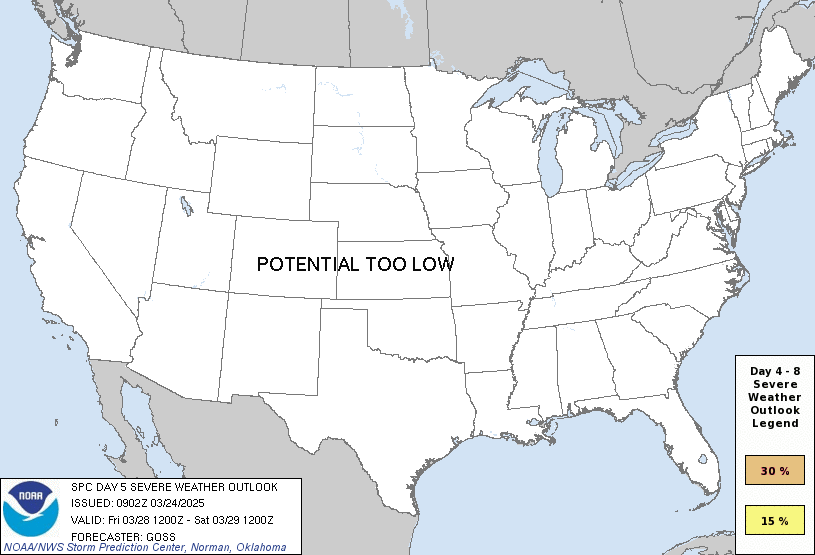
- Potential Too Low: This means forecasters are fairly confident that widespread severe weather is NOT expected on that day. While isolated storms might still occur, the chance of reaching severe criteria across any given area is very low.
If you bookmark this page, it will continue to update with each new outlook that is issued.
Days Covered in this Outlook
| Day 4 | Saturday, April 5 | 30% |
| Day 5 | Sunday, April 6 | 15% |
| Day 6 | Monday, April 7 | predictability too low |
| Day 7 | Tuesday, April 8 | potential too low |
| Day 8 | Wednesday, April 9 | potential too low |
Detailed Outlook
ZCZC SPCSWOD48 ALL ACUS48 KWNS 020900 SPC AC 020900
Day 4-8 Convective Outlook NWS Storm Prediction Center Norman OK 0400 AM CDT Wed Apr 02 2025
Valid 051200Z - 101200Z
DISCUSSION
The mid-level flow pattern will undergo significant amplification over the next several days as a large western US trough begins to move eastward. Very rich moisture will support widespread thunderstorm potential across parts of the Southeast and eastern US through the weekend.
D4/Saturday Mid South
The upper low over northern Mexico will continue to amplify as it begins ejecting eastward across the lower and mid MS Valley. A strong 100+ kt jet will move east of the trough and overspread a relatively broad warm sector across the Sabine and MS Valleys into parts of TN/KY. Unseasonably rich moisture from several days of southerly flow will be in place ahead of a surface low and cold front. One or more rounds of severe storms, including supercells, appears likely from eastern TX into AR, LA, and MS through the day. All hazards will be possible. Storms should eventually grow upscale into a line or cluster and spread eastward overnight into parts of AL, FL, and GA.
The northern bound of the risk area across the TN Valley and into the OH valley appears somewhat conditional. Multiple preceding days of storms may limit the northern extent of the deeper moisture and buoyancy. However, some severe risk likely exists given the intensity of the low-level jet and abundance of moisture.
Day 5
The severe threat is likely to carry over from Day 4 in the form of a squall line, as the upper wave gradually devolves into a broader positive-tilt trough. Strong mid-level flow and ascent will persist over a broadening warm sector across the Southeast. While lapse rates appear weak from several days of convection, some severe risk is possible. The intensity of the severe risk will be heavily dependent on the convective evolution from the prior day 4 which is very unclear at the moment. Will add a 15% area across parts of AL, FL, GA and SC where the best overlap of mid-level flow and robust moisture are expected to support potential for damaging gusts.
A severe risk may also develop across parts of the Carolinas and mid Atlantic Day5/Sunday. As the upper wave lifts to the north, ascent will overspread returning surface moisture as far north as southern PA. It is unclear how much buoyancy will be present with the potential for widespread clouds. However, strong flow fields will be available to any convection that can develop.
D6+
Offshore flow and high pressure will begin to dominate the extended period as mid-level ridging intensifies over the center of the country. Much cooler and stable conditions behind the advancing cold front appear likely to temporarily end broader potential for severe storms through early next week.
..Lyons.. 04/02/2025
CLICK TO GET WUUS48 PTSD48 PRODUCT
National Risk Overview
- Wednesday, April 2
- TORNADO: 30%
- HAIL: 30%
- WIND: 30%
- Thursday, April 3
- TORNADO: 5%
- HAIL: 15%
- WIND: 15%
- Friday, April 4
- ANY SEVERE: 15%
- Saturday, April 5
- ANY SEVERE: 30%
- Sunday, April 6
- ANY SEVERE: 15%
- Monday, April 7
- ANY SEVERE: predictability too low
- Tuesday, April 8
- ANY SEVERE: potential too low
- Wednesday, April 9
- ANY SEVERE: potential too low
Your Severe Outlook
Hey, it looks like your location wasn't detected.
Drag the marker on the map and we'll show you the severe weather potential for a given location.
Hi, I'm Hayley. Did you know that I run this site out of my own pocket? So if you'd like to help out and you're already planning on buying something off of Amazon, why not use our Amazon Severe Weather Outlook link before you buy and we'll get a tiny portion of your purchase.
About Severe Weather Outlook . com
SWO started as a spinoff project of wickedwx, but has since replaced the site.
- tornado hq - live severe weather warnings
- cyclocane - hurricanes/typhoons/cyclones
- tornado solitaire - play cards while you monitor the US severe weather threat
- tertremo - live view of earthquakes around the world
- earthquake solitaire - get live earthquake updates as you play your favorite card game

