Severe Weather Outlook
Hayley here - Do you like lofi music and terrifyingly loud computer voices? Then stop by the 24/7 ish severe weather live stream!
Outlook for Wednesday, April 9
Outlook Images
Note on Medium Range Outlooks
You are looking at an outlook that is part of the medium range forecast (the outlook for days 4-8). The most important thing to note is that lack of a risk does not mean zero risk. Generally speaking, confidence has to be pretty high for the Storm Prediction Center to have an outlook area this far into the future.
When no specific risk areas are shown, you might see one of these phrases:
- Predictability Too Low: This means that severe storms might be possible, but forecasters aren't confident enough about where or when they might occur. Think of it as the models showing different possibilities, like pieces of a puzzle that haven't come together yet.
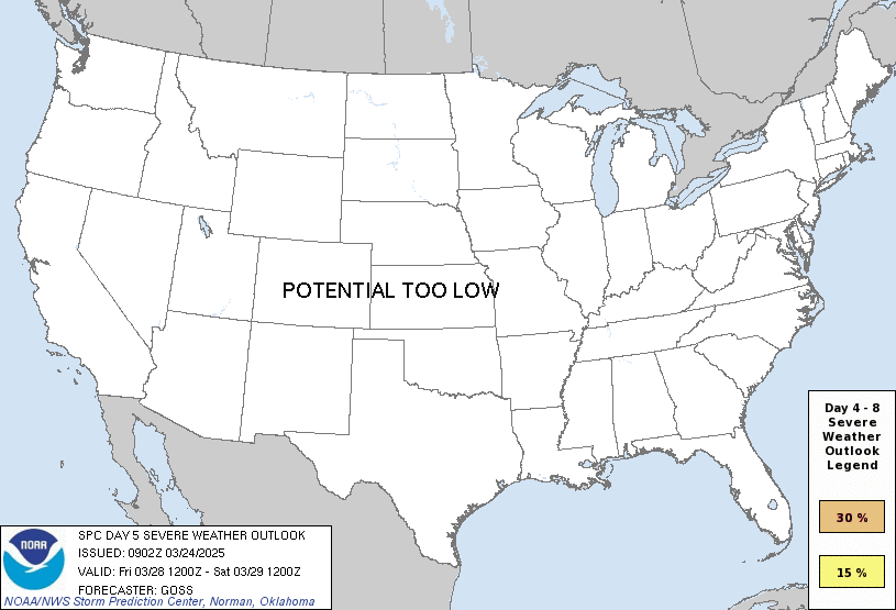
- Potential Too Low: This means forecasters are fairly confident that widespread severe weather is NOT expected on that day. While isolated storms might still occur, the chance of reaching severe criteria across any given area is very low.
If you bookmark this page, it will continue to update with each new outlook that is issued.
Days Covered in this Outlook
| Day 4 | Tuesday, April 8 | low / uncertain |
| Day 5 | Wednesday, April 9 | predictability too low |
| Day 6 | Thursday, April 10 | predictability too low |
| Day 7 | Friday, April 11 | predictability too low |
| Day 8 | Saturday, April 12 | predictability too low |
Detailed Outlook
ZCZC SPCSWOD48 ALL ACUS48 KWNS 050848 SPC AC 050848
Day 4-8 Convective Outlook NWS Storm Prediction Center Norman OK 0348 AM CDT Sat Apr 05 2025
Valid 081200Z - 131200Z
DISCUSSION
A mid-level trough is forecast to move across the Atlantic Coastal states on Tuesday, as a dry airmass moves across the eastern and southern U.S. From Wednesday to Friday, a mid-level trough is forecast move southeastward from the central states into the eastern U.S., becoming increasingly amplified with time. Ahead of this feature, instability is forecast to remain weak. Isolated severe storms would be possible ahead of the trough in the lower Missouri and mid Mississippi Valleys Wednesday night. The severe threat is forecast to shift eastward into the Ohio and Tennessee Valleys on Thursday, and to the Carolinas on Friday. One of these days could be a potentially more active severe weather day, but predictability remains low concerning trough timing, magnitude of instability and convective mode. In the Great Plains from Friday into Saturday, model forecasts suggest a moist airmass will advect northward across the southern and central Plains. At mid-levels, a ridge is forecast to move eastward across the central U.S. from Friday into Saturday. Isolated severe storms that develop in the vicinity of the ridge should be marginalized due to a lack of large-scale ascent.
..Broyles.. 04/05/2025
CLICK TO GET WUUS48 PTSD48 PRODUCT
National Risk Overview
- Sunday, April 6
- TORNADO: 5%
- HAIL: low
- WIND: 15%
- Monday, April 7
- TORNADO: 5%
- HAIL: 5%
- WIND: 15%
- Tuesday, April 8
- ANY SEVERE: 5%
- Wednesday, April 9
- ANY SEVERE: predictability too low
- Thursday, April 10
- ANY SEVERE: predictability too low
- Friday, April 11
- ANY SEVERE: predictability too low
- Saturday, April 12
- ANY SEVERE: predictability too low
Your Severe Outlook
Risks for this location
- Sunday, Apr 6 TORNADO low HAIL low WIND low
- Monday, Apr 7 TORNADO low HAIL low WIND low
- Tuesday, Apr 8 ANY SEVERE low
- Wednesday, Apr 9 ANY SEVERE low
- Thursday, Apr 10 ANY SEVERE low
- Friday, Apr 11 ANY SEVERE low
- Saturday, Apr 12 ANY SEVERE low
Severe Weather Definitions
- Tornado
- Any size tornado is considered severe.
- Wind
- Winds 58 mph and greater.
- Hail
- 1" and larger hail.
- "Any Severe"
- For outlooks for days 3-8, it could mean a threat of any or all of the following: wind, hail, or tornadoes.
For black colored risks that means there is an enhanced threat of significant severe weather. Depending on the threat, this could mean 75 mph and greater winds, 2" and larger hail, or EF2 and stronger tornadoes.
Hi, I'm Hayley. Did you know that I run this site out of my own pocket? So if you'd like to help out and you're already planning on buying something off of Amazon, why not use our Amazon Severe Weather Outlook link before you buy and we'll get a tiny portion of your purchase.
About Severe Weather Outlook . com
SWO started as a spinoff project of wickedwx, but has since replaced the site.
- tornado hq - live severe weather warnings
- cyclocane - hurricanes/typhoons/cyclones
- tornado solitaire - play cards while you monitor the US severe weather threat
- tertremo - live view of earthquakes around the world
- earthquake solitaire - get live earthquake updates as you play your favorite card game

