Severe Weather Outlook
Hayley here - Do you like lofi music and terrifyingly loud computer voices? Then stop by the 24/7 ish severe weather live stream!
Outlook for Thursday, April 10
Outlook Summary
Isolated severe storms capable of producing large hail and locally damaging gusts will be possible from the Lower Ohio River Valley to the Mid-Mississippi Valley and the Mid-South.
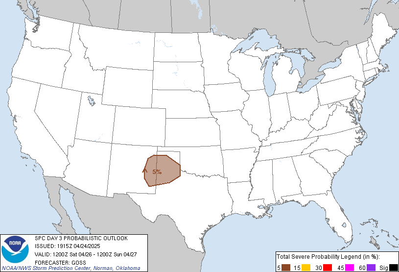
Outlook Images
Detailed Outlook
SPC AC 081907
Day 3 Convective Outlook NWS Storm Prediction Center Norman OK 0207 PM CDT Tue Apr 08 2025
Valid 101200Z - 111200Z
THERE IS A MARGINAL RISK OF SEVERE THUNDERSTORMS ACROSS THE LOWER OHIO VALLEY…MID-MISSISSIPPI VALLEY…AND INTO THE MID-SOUTH
### SUMMARY
Isolated severe storms capable of producing large hail and locally damaging gusts will be possible from the Lower Ohio River Valley to the Mid-Mississippi Valley and the Mid-South.
Synopsis and Discussion
A mid-level trough will amplify across the eastern CONUS on Thursday with very cold mid-level temperatures (-22 to -26C at 500mb) expected from the Great Lakes to the Mid-South. These cold temperatures aloft will result in steep mid-level lapse rates which will support weak to potentially moderate instability by early-afternoon. Unidirectional flow, strengthening with height, will support storm organization including updraft rotation. Overall, the dry airmass, and thus relatively weak instability, should limit a greater threat. However, cold temperatures aloft and forecast soundings showing a deeply mixed boundary layer will support the potential for some large hail and damaging wind gusts.
The greatest threat for stronger supercells will exist along the cold front during peak heating (likely eastern Arkansas to northern Alabama and southern Tennessee) where better moisture/instability should be present. Despite a drier airmass farther north and east, the coldest air aloft will advect over this region and could support a threat as far northeast as far southern Ohio.
..Bentley.. 04/08/2025
CLICK TO GET WUUS03 PTSDY3 PRODUCT
NOTE: THE NEXT DAY 3 OUTLOOK IS SCHEDULED BY 0730Z
National Risk Overview
- Tuesday, April 8
- TORNADO: low
- HAIL: low
- WIND: low
- Wednesday, April 9
- TORNADO: low
- HAIL: low
- WIND: low
- Thursday, April 10
- ANY SEVERE: 5%
- Friday, April 11
- ANY SEVERE: predictability too low
- Saturday, April 12
- ANY SEVERE: potential too low
- Sunday, April 13
- ANY SEVERE: predictability too low
- Monday, April 14
- ANY SEVERE: predictability too low
- Tuesday, April 15
- ANY SEVERE: predictability too low
Your Severe Outlook
Hey, it looks like your location wasn't detected.
Drag the marker on the map and we'll show you the severe weather potential for a given location.
Hi, I'm Hayley. Did you know that I run this site out of my own pocket? So if you'd like to help out and you're already planning on buying something off of Amazon, why not use our Amazon Severe Weather Outlook link before you buy and we'll get a tiny portion of your purchase.
About Severe Weather Outlook . com
SWO started as a spinoff project of wickedwx, but has since replaced the site.
- tornado hq - live severe weather warnings
- cyclocane - hurricanes/typhoons/cyclones
- tornado solitaire - play cards while you monitor the US severe weather threat
- tertremo - live view of earthquakes around the world
- earthquake solitaire - get live earthquake updates as you play your favorite card game


